
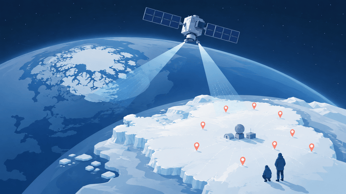
The National Geographic Information Institute under the Ministry of Land, Infrastructure and Transport and the Korea Polar Research Institute have agreed to jointly build spatial information for the Antarctic and Arctic polar regions and to observe polar change using land observation satellites. The two organizations plan to continue discovering and designating Korean-language place names in Antarctica, thereby raising the nation’s standing.
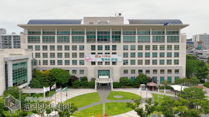
 [코리안투데이] National Geographic Information Institute and Korea Polar Research Institute sign an MOU to build polar spatial information © 장형임 기자 |
The National Geographic Information Institute of the Ministry of Land, Infrastructure and Transport (Director Kim Won-dae) signed a memorandum of understanding for the ‘construction of polar spatial information and the promotion of related support’ with the Korea Polar Research Institute (President Shin Hyoung-chul) at the Korea Polar Research Institute at 2 p.m. on September 2, 2026.
The agreement was arranged to efficiently carry out national policies such as building spatial information, surveying, and designating place names in the polar regions, and to support polar research and field activities based on the expertise and experience each organization has accumulated.
Under the agreement, the two organizations will cooperate on the following: developing and carrying out tasks related to mapping, surveying, and the discovery and designation of place names in the polar regions; building and operating geodetic observation facilities at polar research stations; supporting polar infrastructure and on-site surveys; capturing imagery of the polar regions based on land satellites and providing image support; building spatial information to meet demand and sharing and feeding back research outcomes; and jointly participating in domestic and international networks.
The division of roles was also made clear. The National Geographic Information Institute will provide expertise in building national spatial information, surveying, mapmaking, and place-name management, while the Korea Polar Research Institute will add the field-survey and observation know-how it has built up while operating scientific bases in the Antarctic and Arctic. The two organizations plan to combine their respective strengths to pool their efforts in building and utilizing polar spatial information.
In particular, the National Geographic Information Institute will use Land Satellites No. 1 and No. 2 to periodically observe areas of Antarctic research activity and areas being developed along the Arctic sea route. The plan is to monitor changes in terrain, ecology, and glaciers, and to support polar research activities. The Land Satellite is a precision ground-observation satellite with a resolution of 0.5 meters in black and white; the first unit was launched in March 2021 and the second in May 2026.
The work of rendering Antarctic place names in Korean will also continue. The two organizations will keep discovering and designating Korean-language place names in Antarctica to strengthen the foundation for research activities. Currently, 27 Korean-language place names such as Baekdu Peak and Sejong Peak are registered around the King Sejong Station in the Composite Gazetteer of Antarctica (CGA), and the registration process is under way for 16 place names around the Jang Bogo Station. Antarctic place names are entered into the Composite Gazetteer of Antarctica after being approved and designated by the National Committee on Geographical Names and then submitted to the Standing Committee on Antarctic Geographic Information (SCAGI).
Given that the climate and environmental changes taking place in the Antarctic and the Arctic have a direct impact on the Korean Peninsula, the agreement carries the significance of strengthening polar observation capacity at the national level. Precise spatial information and the expansion of Korean-language place names are expected to enhance the stability of Korean researchers’ polar activities while laying the groundwork for broadening the Republic of Korea’s standing in polar research on the international stage.
Shin Hyoung-chul, president of the Korea Polar Research Institute, said, ‘As polar research and field activities become more active, the importance of accurate and systematic spatial information is growing ever greater,’ adding, ‘I hope our cooperation with the National Geographic Information Institute will become an opportunity that enhances the stability of polar activities and dramatically expands their operational range.’
Kim Won-dae, director of the National Geographic Information Institute, said, ‘The capacity to build spatial information and the use of land satellites will combine with the Korea Polar Research Institute’s field infrastructure to create synergy,’ and pledged, ‘We will continue to build precise polar spatial information to provide even firmer support for research activities in the polar regions.’
지역 홍보대사 신청 기자양성과정 신청 코리안투데이 지부장 신청 코리안투데이 인천강화
THE KOREAN TODAY × WIA CODE
이 기사의 WIA Code

WIA Code 스캐너로 비추면 인터넷 없이 발행 사실과 위·변조 여부를 확인할 수 있습니다.
휴대폰 기본 카메라로 찍으면 스캐너 안내 페이지가 열립니다 — 기사 바로 열기
움직이는 코드(스트림) 한 장에 기사 전문(사진 포함)이 담겨 있습니다 — WIA Code 스캐너로 약 18초 비추면 폰에 저장되어 인터넷 없이도 읽을 수 있습니다. Stream.mp4 도 여기서 받습니다.
WIA Code · 코리안투데이


Leave a Reply